

Solution
Geodetic
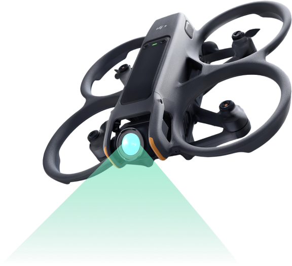
Using drones for surveying,
surveying terrain for small projects to
mega projects to set landmarks and create maps.
surveying terrain for small projects to
mega projects to set landmarks and create maps.

Using unmanned aircraft technology, RTK
Implementation time is only 1/10 of traditional surveying

The results are almost absolutely accurate
Cheaper than traditional surveying
Tỉ lệ có thể zoom

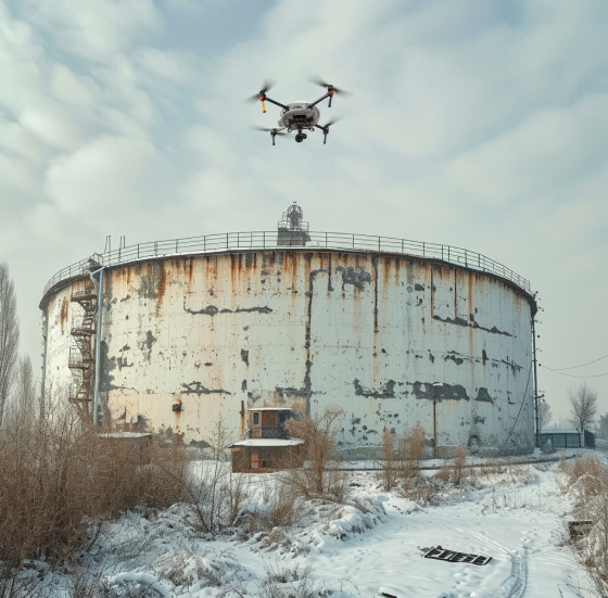
Check and monitor
Directly via
computer and phone

When
Use our services
Save manpower
and money
Save manpower
and money
Save manpower
and money
Save manpower
and money
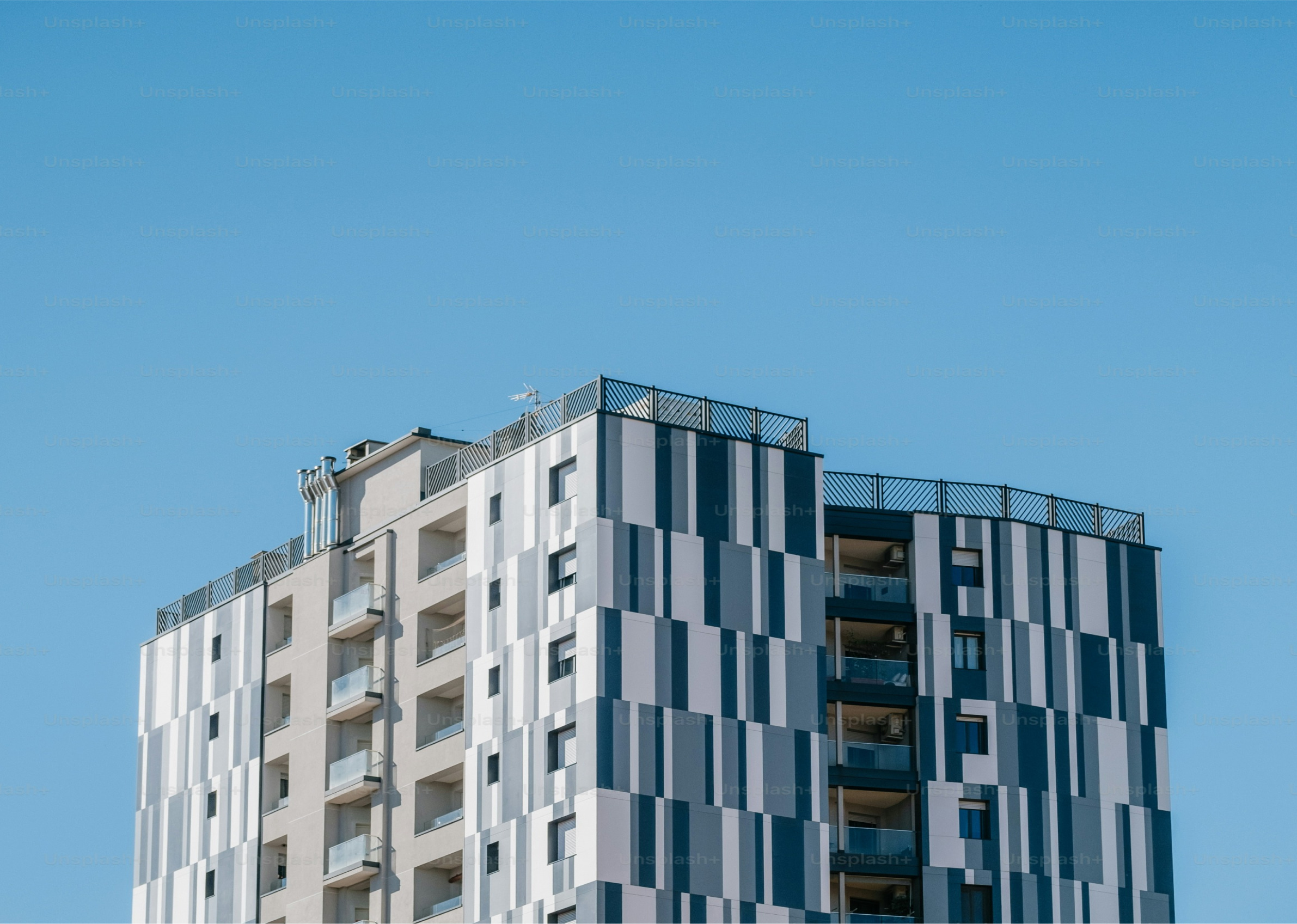
The investor has high-rise buildings.
Regular cleaning of high-rise glass